

The Trestle to Trestle Trail is a 3.75-mile paved trail on Des Moines’ north side. The trail connects two historic trestle bridges. And it has a varied landscape, passing by the river, woodlands, and prairie. Also, it serves as a connector between Des Moines and Johnston.
A Brief History of the Trestle to Trestle Trail
The trail follows a route for the Inter-Urban Railway (which later became the Des Moines and Central Iowa Railway). The line carried freight in the early 1900s and later added passenger cars.
The railway transported thousands of soldiers to and from Camp Dodge during World War I. But, as alternative modes of transportation became available, passenger service ended in 1949. Freight service continued for a while, but the line was eventually abandoned.
Since most of the route was still intact, it was prime ground for a recreational rail trail! The trestle bridges were converted for pedestrian use in the late 1990s/early 2000s. And the Trestle to Trestle Trail opened in 2007.
The Trail
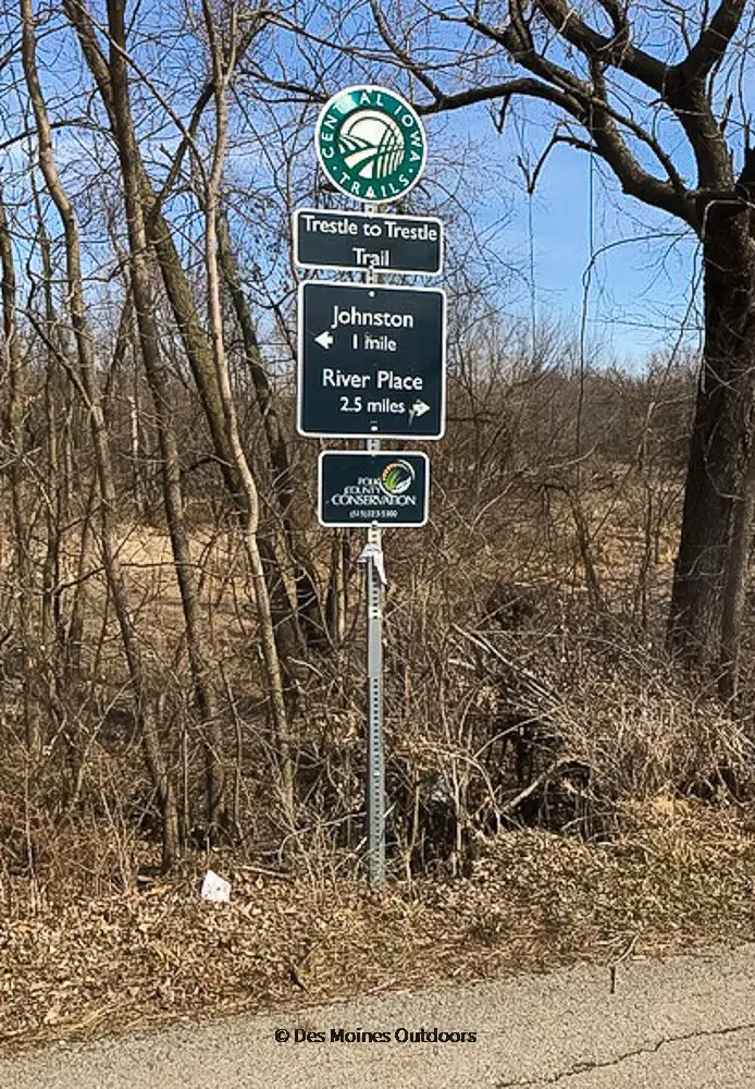
The trail connects the Inter-Urban Trestle Bridge in Des Moines to the Trestle Bridge in Johnston.
The south end of the trail intersects with the Inter-Urban Trail on the Des Moines River’s west side. You can access the trail just north of here at Polk County River Place on Euclid Avenue.
The trail extends north along MLK Jr. Parkway, where it passes by a residential area. Then it turns northwest through the prairie and along the river. It continues along Lower Beaver Road near the Sycamore Wildlife Area.
The trail’s north end is at the new Johnston Trestle Bridge, just north of the underpass for I-35/80.
Know Before You Go!
- North of the Inter-Urban Trestle Bridge, you can hike or mountain bike on the Sycamore South Trails. The trails wind along the Des Moines River and through the woods. (Get there from the Polk Co. River Place parking lot.)
- The new Johnston Trestle Bridge is now open (Sept. 2022).
- The City of Johnston has many trails accessible from the north end of the trail. Terra Park is an excellent way to access them.
Trail Map
Also, check out the Greater Des Moines Regional Trails Map at the Des Moines Street Collective website. And the Central Iowa Trails Interactive Map will help you plan your route.
Trailheads
The trail begins on the west side of the Inter-Urban Trestle Bridge and ends at the Johnston Trestle Bridge. But parking isn’t available at the two endpoints—the following parking areas offer easy access to the trail.
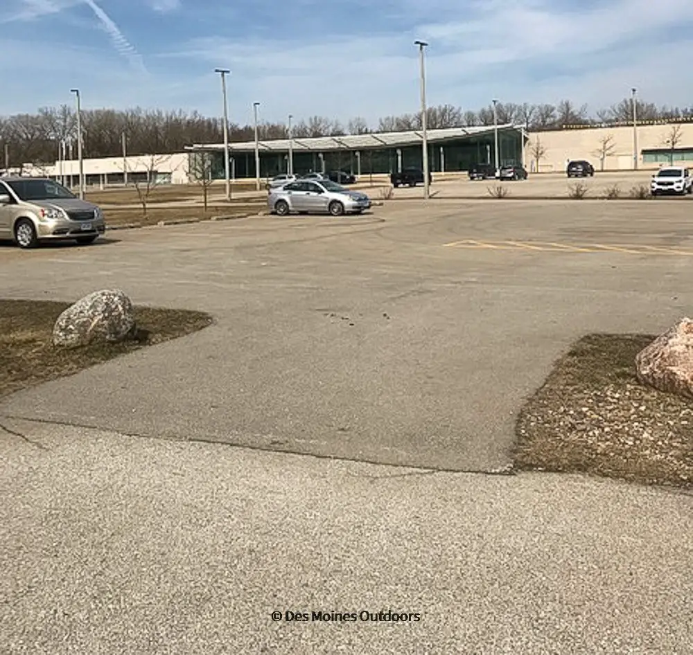
Polk County River Place has trail parking and a kiosk right on the trail at Euclid Avenue. The address is 2309 Euclid Ave, Des Moines, IA 50310.
A parking area at Lower Beaver Road is at Lower Beaver and NW 44th St./Beaver Avenue, near DeVries Outdoor. The address is 5268 Lower Beaver Road. From here, the trail heads north to about a mile and south for about 2.75 miles (to the Inter-Urban Trestle Bridge).
Connecting Trails
The Inter-Urban Trail intersects with the trail on the Des Moines River’s west side (by the Inter-Urban Trestle Bridge). This trail starts at Beaverdale Park. It extends east for 1.3 miles along Urbandale Avenue to meet Neal Smith Trail on the Des Moines River’s east side. From Neal Smith, you can head north to Saylorville Lake!
The Johnston city trails connect on the north endpoint. Many of them are street side paths, and one follows Beaver Creek west, dipping south to Urbandale.
Trestle to Trestle Trail Facts
- Location: North Des Moines to Johnston
- Distance: 3.75 miles
- Surface: Asphalt
- Difficulty: Easy
- Description: The trail runs from the Inter-Urban Trestle Bridge at the Des Moines River to the Trestle Bridge in Johnston.
- Trailheads: Polk County River Place, Lower Beaver Road (east of NW 44th)
- Connectors: Inter-Urban Trail, City of Johnston Trails